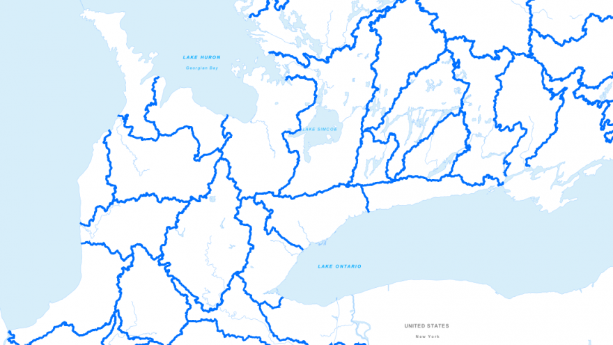
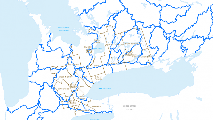
A watershed consists of an area from which all surface water drains into the same body of water (river, lake, or ocean). Watershed boundaries indicate the extent of the drainage area for each of the main river systems in Southern Ontario. This includes all the smaller watercourses that drain into the main river system.
Mapping Source:
Atlas of Canada 1,000,000 National Frameworks Data, Hydrology - Drainage Areas from Water Survey of Canada, Sub-Sub Drainage Area: http://geogratis.gc.ca/api/en/nrcan-rncan/ess-sst/30b33615-6dda-51a5-a9dd-308802714a28.html
Additional Information:
National Hydro Network (NHN): http://www.geobase.ca/geobase/en/data/nhn/units.html
National Atlas of Canada showing ocean drainage areas with component river basins and diversion areas: http://geogratis.gc.ca/api/en/nrcan-rncan/ess-sst/7b309ad9-9398-51d4-89d2-32b3871ec3ab.html


