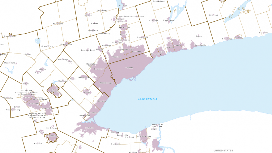
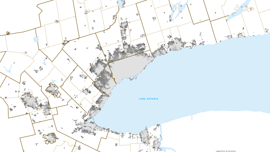
Built-up Areas are lands that were developed for urban uses (such as residential or employment) when the Growth Plan for the Greater Golden Horseshoe came into effect in June 2006. The outer limit of these lands is the Built Boundary. The Ontario Ministry of Infrastructure Renewal defined the Built Boundary for each municipality in consultation with upper- and single-tier municipalities. For the purposes of the Plan, all development inside the Built Boundary is considered intensification; development outside the built boundary is considered greenfield development.
Mapping Source:
Built Boundary for the Growth Plan for the Greater Golden Horseshoe, 2006, Ministry of Public Infrastructure Renewal, 2008:
https://www.placestogrow.ca/index.php?option=com_content&task=view&id=66...
Additional Information:
- Built Boundary for the Growth Plan for the Greater Golden Horseshoe, 2006: https://www.placestogrow.ca/images/pdfs/Built_Boundary.pdf
- Land area inventory by municipality: https://www.neptis.org/publications/implementing-growth-plan-greater-golden-horseshoe/chapters/appendix-c-land-area
- Description of the Growth Plan implementation process and identification of a built boundary: https://www.neptis.org/publications/why-now/chapters/growth-plan-implementation-process


