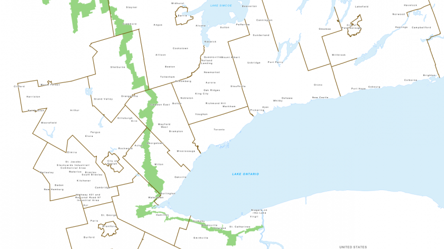
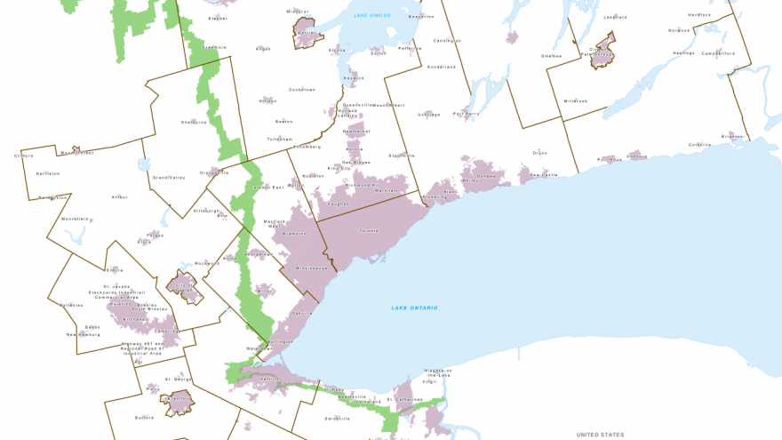
The Niagara Escarpment is a 750-km-long ridge of limestone stretching from the Niagara River in the south to Georgian Bay in the north. Because of its diverse ecosystems and unique geology, the Escarpment is recognized by UNESCO as a World Biosphere Reserve. The Niagara Escarpment Plan contains measures to balance protection, conservation and sustainable development of the area. The Plan identifies seven land use designations (Natural, Protection, Rural, Recreation, Urban, Minor Urban and Mineral Resource Extraction) and contains policies appropriate to each one.
Mapping Source:
The information layer indicates the extent of the Niagara Escarpment as defined in the Niagara Escarpment Plan, as provided by the Niagara Escarpment Planning and Development Act, 1990. Niagara Escarpment Plan Maps, Niagara Escarpment Commission, 2012: http://www.escarpment.org/landplanning/planmaps/index.ph
Additional Information:
Niagara Escarpment Planning and Development Act: http://www.e-laws.gov.on.ca/html/statutes/english/elaws_statutes_90n02_e...
Niagara Escarpment Plan: http://www.escarpment.org/landplanning/plan/index.php


